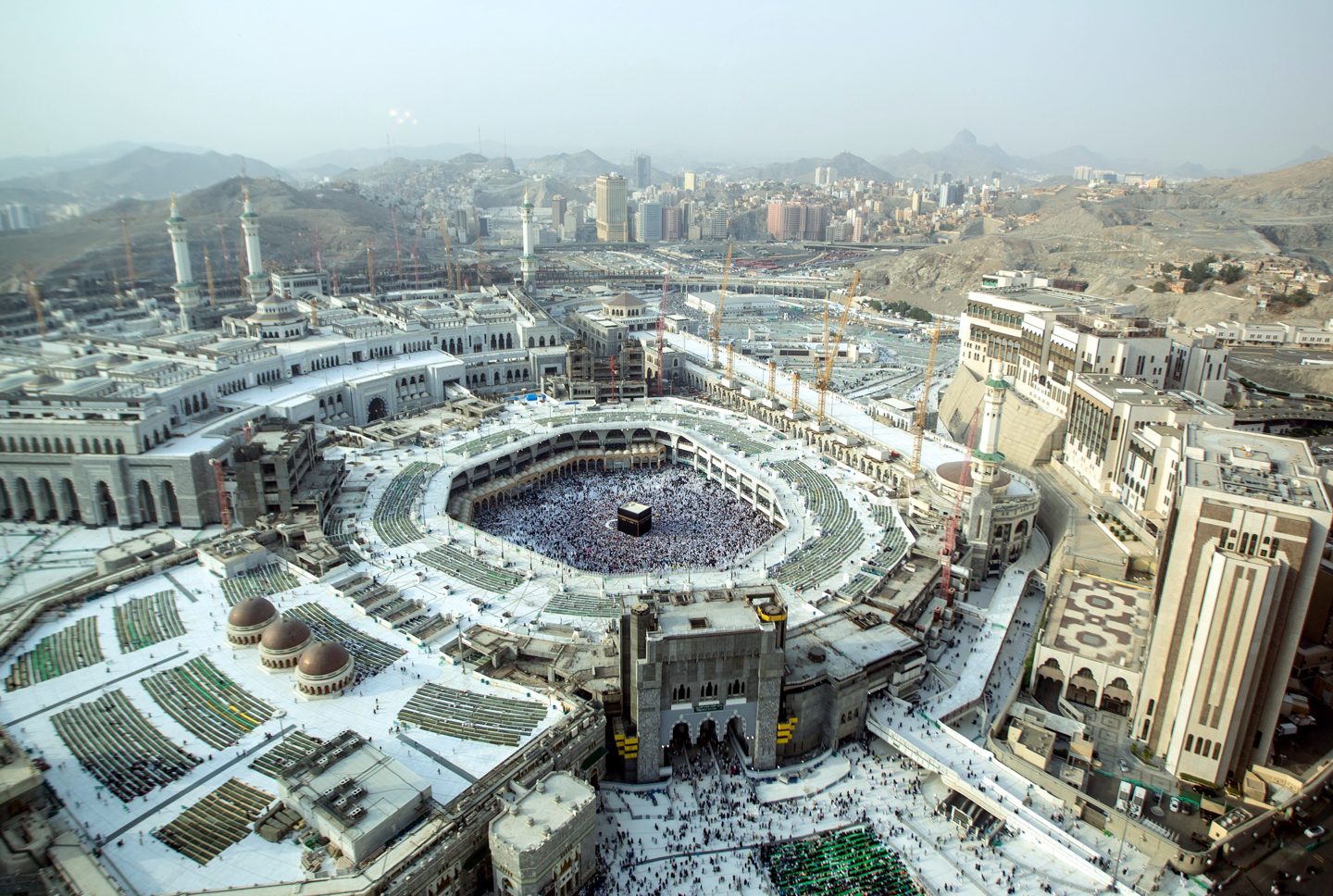
Walking the Darb Zubaydah, a road 1,200 years old
Twelve centuries ago, pilgrims walked 1,300 km from Kufa to Makkah on a road built around water. Its stations and round cisterns still sit in the desert near Rafha — here is how to see them.
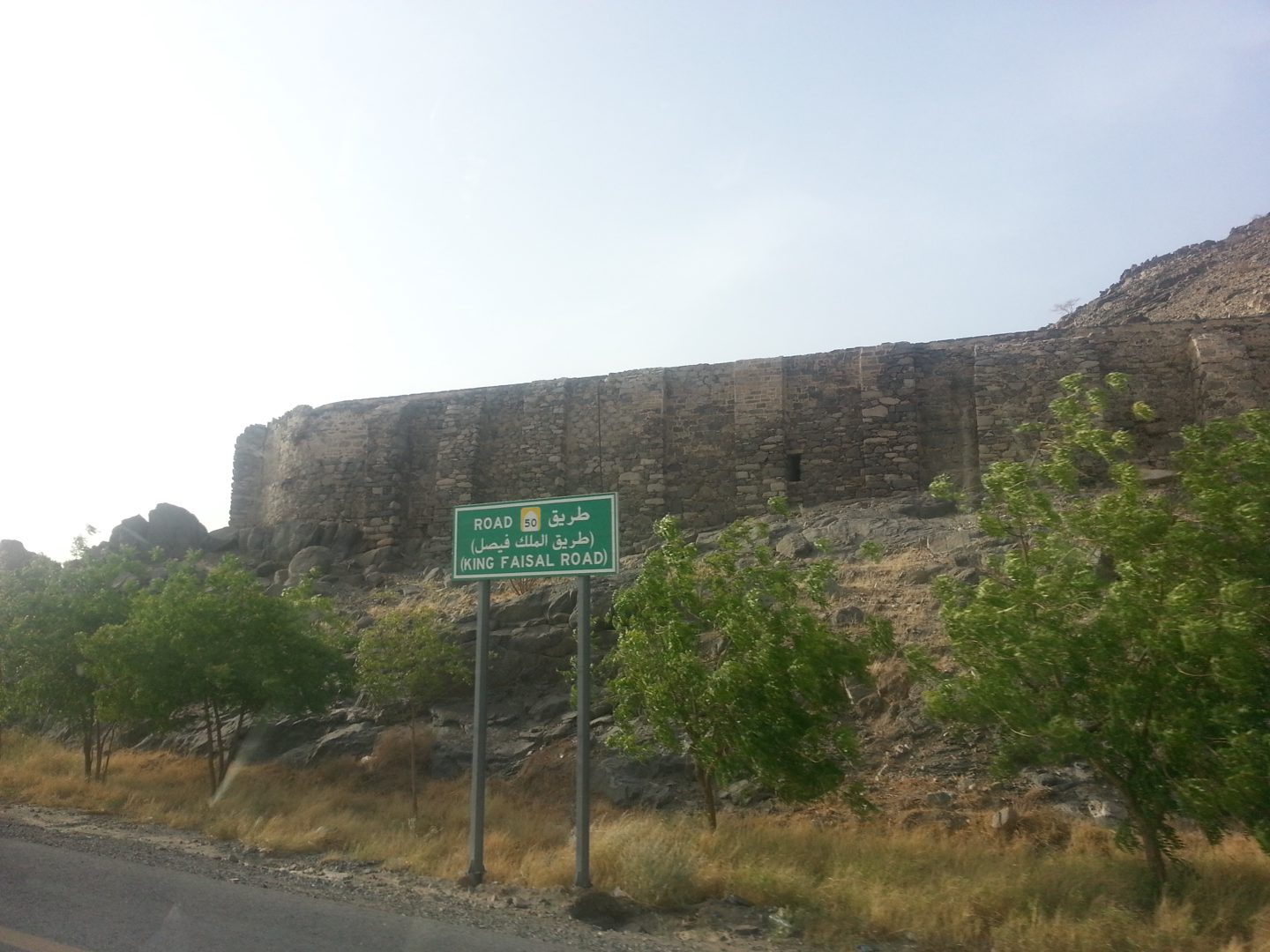
For about a hundred years, from roughly 750 to 850 CE, the most important pilgrim road in the Islamic world ran from Kufa and Baghdad in Iraq to Makkah. It crossed some 1,300 kilometres of open desert, and it worked because someone thought hard about water. The road is known as the Darb Zubaydah, after Zubaydah bint Ja'far, wife of the Abbasid caliph Harun al-Rashid, who paid for many of the wells, cisterns and rest stops that made the journey survivable.
Today about four-fifths of the route lies in Saudi Arabia. Saudi Arabia and Iraq put it forward together for UNESCO World Heritage status, and it has been on UNESCO's Tentative List since January 2022. It is also the road our name comes from: darb means route, or path.
A road built around water
Earlier routes to Makkah were spaced for riders — the distance a camel or a horse could cover in a day. As more pilgrims travelled on foot, the Abbasids added stations in between. Archaeologists have identified 27 main stations and 27 smaller ones along the way, with wells, pools, dams, rest houses and milestones. Parts of the track were even paved.
The most striking remains are the birak, the cisterns. Some are round, some square, many lined with stone and fed by channels that caught the rare desert rain. Wealthy donors competed to fund them, and cisterns were often named after the person who paid. Standing at the edge of one, you understand the whole road: a line of dependable water across a place that has almost none.
What you can see near Rafha
Rafha, in the Northern Borders region, is the easiest base for the Saudi section. The road crosses the desert nearby, and several stations lie within a day trip of the town.
- Zubala, one of the major stations, with a large cistern and the outlines of buildings around it.
- Smaller cisterns and wells along the old track, often with low stone walls still standing.
- Stretches where the line of the road is visible across the gravel plain, especially in low morning light.
The sites are open desert, not museums. There is little shade and few signs, and some sites are protected, so go with a local guide who knows which ones can be visited and how to reach them. Our Darb Zubaydah station trail from Rafha does exactly that.
When to go and what to bring
Go between November and March, when days are mild and nights are cold enough for a jacket. In summer the plain is extremely hot and walking is not safe after mid-morning.
- Start early; the light is best and the ground is cool before 10 am.
- Carry more water than you think you need, sun protection and closed shoes.
- Stay on tracks, don't climb on walls, and take nothing away — these are archaeological sites.
- Phone signal is patchy; tell someone your plan.
Getting there
Rafha has a domestic airport with connections to Riyadh, and it sits on the road between Hail and the Northern Borders. Most visitors combine it with Hail, itself a former station on the same pilgrim road and home to the UNESCO rock art at Jubbah.
The Darb Zubaydah was the road people trusted with their lives. That is still the idea behind every route we plan.